Fundamentally, after the Hurricane passes and the cool air leaves, it is expected to get hot. This may be able to produce short-term gains, but the early forecast doesn’t show it lasting long enough to put a serious dent in short-seller positions.
Natural gas futures posted solid gains last week as traders braced for the landfall of now Hurricane Barry. Prices edged higher throughout the week as traders assessed the storm’s potential impact on both supply and demand.
The impact on production was actually felt all week when the shutdown of platforms in the Gulf of Mexico drove prices higher. Demand is being affected because with the storm comes rain and cooler temperatures. However, after the worst of the storm has passed the Louisiana area, it should weaken, opening the door to another wave of heat that could prop up prices once again later in the week.
Last week, September natural gas futures settled at $2.434, up $0.045 or 1.88%.
On Thursday, July 11 the EIA reported an 81 Bcf weekly injection into U.S. storage for the week-ending July 5.
Bloomberg analysts were looking for a 76 Bcf build, with estimates ranging from 62 Bcf to 84 Bcf. Reuters predicted a 73 Bcf build, with a range of 62 Bcf to 80 Bcf. The ICE EIA Financial Weekly Index settled Tuesday at 80 Bcf, and Natural Gas Intelligence was looking for a 70 Bcf injection.
Last year, the EIA recorded a 55 Bcf injection for the period, and the five-year build is 71 Bcf.
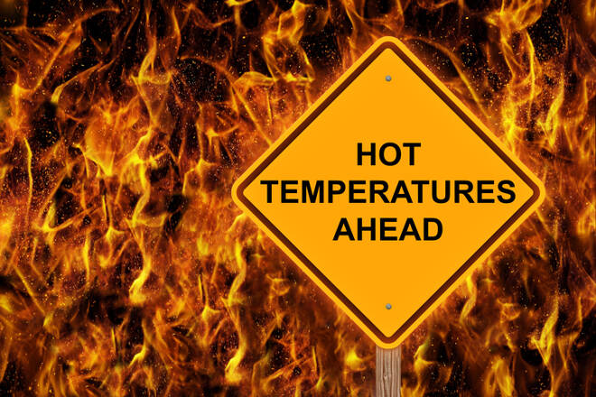
According to NatGasWeather for July 15-21, “Barry will bring heavy rain & cooling across the Mississippi River Valley the next few days with highs of 80s. It will remain hot to either side of the storm with highs of 90s. The Southwest will be very hot with highs of 100-110s, although comfortable across the northern US, especially the Northwest with highs of upper 70s & 80s. Late in the week, hot high pressure will strengthen over Midwest to Northeast with highs of mid-90s from Chicago to New York City, while also hot across the southern & central US to drive very strong national demand. Overall, national demand will be high increasing to very high.”
Technically, the weekly main trend is down despite the three week rally. This suggests the move is being fueled primarily by short-covering rather than aggressive counter-trend buying.
The resistance is being provided by a retracement zone at $2.428 to $2.502. Overtaking $2.502 will indicate the counter-trend buying is getting stronger. This could lead to a test of the major retracement zone at $2.552 to $2.656. On the downside, taking out $2.428 with conviction could trigger a break into the short-term retracement zone at $2.296 to $2.253.
Fundamentally, after the Hurricane passes and the cool air leaves, it is expected to get hot. This may be able to produce short-term gains, but the early forecast doesn’t show it lasting long enough to put a serious dent in short-seller positions.
According to Bespoke Weather Services, “Once the remains of the storm are gone, we reach peak heat in the pattern” late in the upcoming week, “with very hot conditions in most of the eastern half of the nation.”
Bespoke further added, “As we move forward the final week of July, we see the risk that the heat relaxes enough to take overall demand back toward normal levels, though for July as a whole, we still see this month ranking as one of the top five hottest Julys on record “in terms of national gas-weighted degree days.
James Hyerczyk is a U.S. based seasoned technical analyst and educator with over 40 years of experience in market analysis and trading, specializing in chart patterns and price movement. He is the author of two books on technical analysis and has a background in both futures and stock markets.